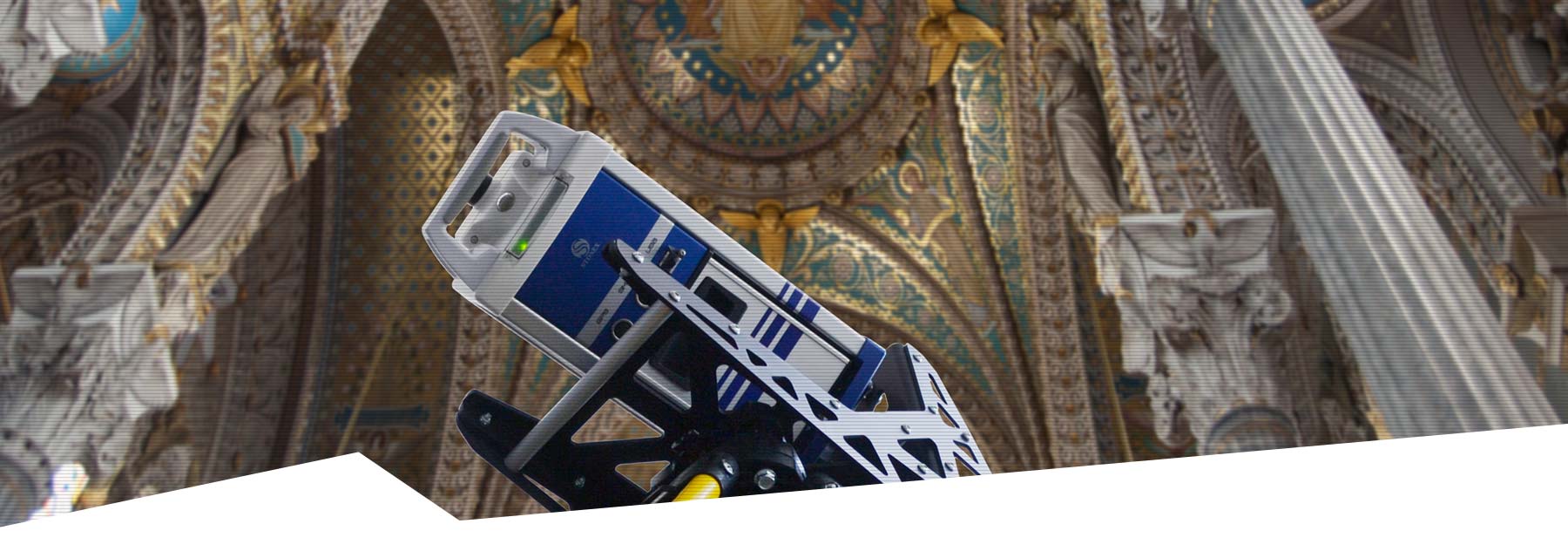
Stonex X40GO
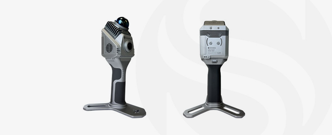
The Stonex X40GO is a compact and advanced handheld SLAM laser scanner that allows you to capture highly accurate point cloud data. Designed for ease of use and efficiency, this scanner is ideal for interior measurement, floor plan production and construction and infrastructure applications. With its perfect balance of affordability and functionality, the Stonex X40GO is a valuable tool for any professional.


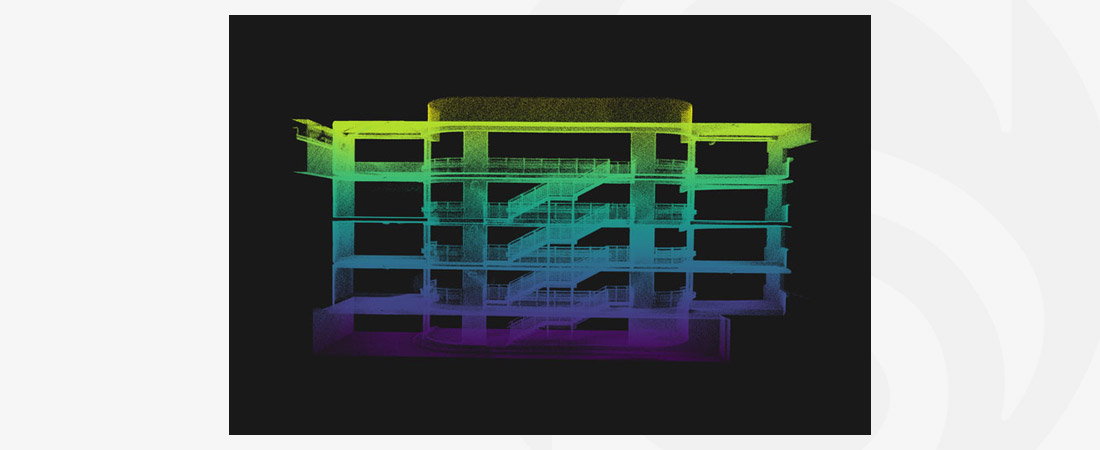
STONEX X40GO SLAM LASER SCANNER
Maximum coverage and detailed modelling
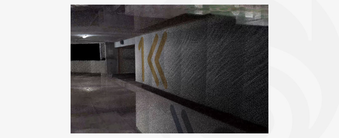
With a LiDAR range of 70 metres, the Stonex X40GO offers exceptional coverage and precision. The integrated 12 MP RGB camera captures detailed texture information, allowing you to create high-quality 3D models. This makes the scanner perfect for creating accurate building plans, as well as for capturing complex infrastructure projects, building renovations and maintenance inspections.
Move freely thanks to SLAM technology
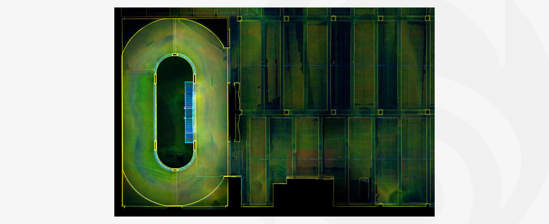
With the Stonex X40GO, you can move freely through a room while the scanner automatically captures the environment in 3D. Thanks to SLAM technology, it becomes possible to generate floor plans quickly and easily without the need for multiple scanning stations. This is ideal for interior designers, architects and professionals in the construction and infrastructure sector who depend on accurate and up-to-date spatial data.
Real-time insight with GOapp
With the specially designed GOapp, you easily manage your project from the field. You can track your scanning progress in real-time and instantly preview the collected data. This functionality is particularly useful when producing floor plans, as you can immediately check that all the necessary data has been captured before completing the project.
Accurate georeferencing and data management
The Stonex X40GO offers the ability to automatically measure control points and link your scans to known reference points, which is crucial for accurate floor plan generation. In addition, you can add photos and notes to your position so that all relevant information is immediately available in the point cloud. This increases the efficiency and accuracy of your design and planning processes.
Easy and fast post-processing
The included software, GOpost, offers extensive post-processing capabilities. With just a few clicks, you can optimise, colour and use point clouds to generate floor plans. You save time by processing multiple scans simultaneously, which is especially useful for large projects such as building renovations or urban development plans.
Extra convenience with optional accessories
The ergonomic shoulder harness allows you to work comfortably, even on lengthy projects. The optional 360° panoramic camera adds an extra dimension to your scans, making floor plans and other spatial analyses even easier and more detailed.
Widely applicable in construction, infrastructure and property management
The Stonex X40GO is perfect for a wide range of applications. The device is ideal for mapping existing structures, documenting construction progress, creating floor plans for renovations and supporting accurate design and planning processes. For property management, the scanner is also an indispensable tool for capturing up-to-date and accurate data.
With the Stonex X40GO, you choose an innovative solution that combines advanced technology with user-friendliness. Whether you want to create floor plans, work in interior design, construction or infrastructure, this scanner simplifies your work process and delivers reliable results.
CHARACTERISTICS
- 70-metre high-precision LiDAR range
- Advanced SLAM technology for full mobility
- 12 MP RGB camera for texture information
- Real-time insight with GOapp
- Automatic georeferencing with control point measurement
- Easy and fast post-processing with GOpost
- Broadly applicable for construction, infrastructure and property management
DOWNLOADS
MORE INFORMATION?
Want to know more about our 3D scanners, or make an appointment for a demonstration? Get in touch using the buttons below or call us directly on +31 297 769 101.
