Survey software
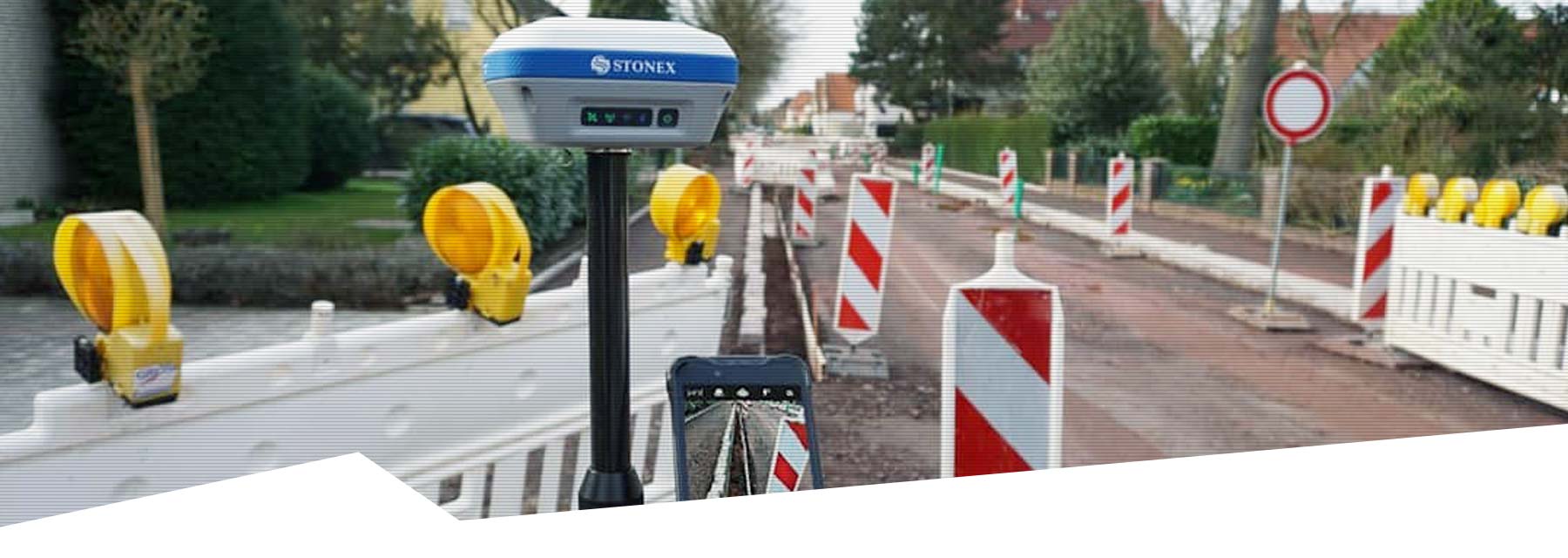
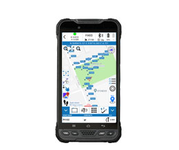
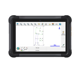
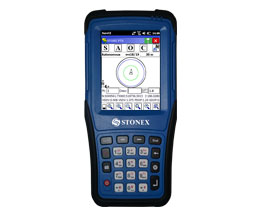
Stonex Survey software applications for Windows and Android make surveying and staking-out using an RTK GNSS Rover or Total Station easier than ever before, where you can count on optimal ease of work and the highest quality.
All Stonex Survey applications are designed to simplify your daily work and offer maximum flexibility. Whether you want to record the exact location of cables and pipes, stake-out a road design, produce topographic maps or measure ground control points for your drone mapping projects: we always deliver a suitable solution for your surveying challenge.


