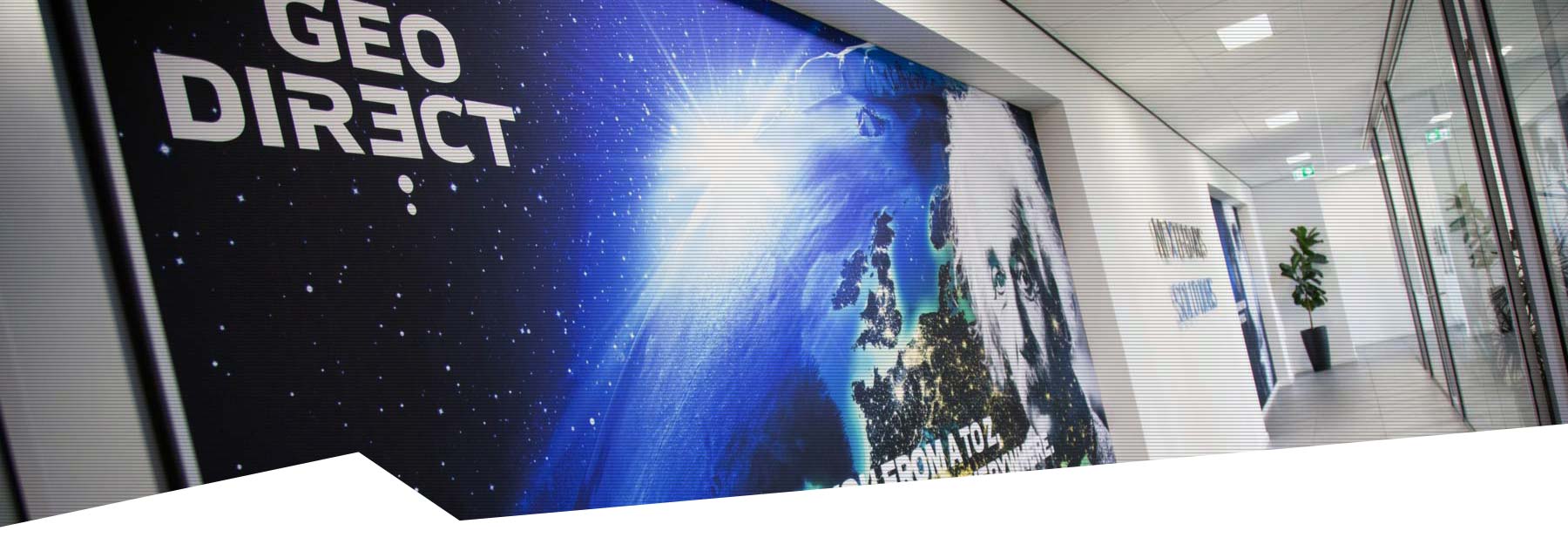
ABOUT GEODIRECT
The world is changing. Construction, infrastructure and industry are facing major challenges. Working smarter, building more efficiently and capturing reality with unprecedented precision – that is the future. At Geodirect, we make this possible. We provide innovative surveying solutions and advanced positioning technology that enable professionals to work faster and more accurately.
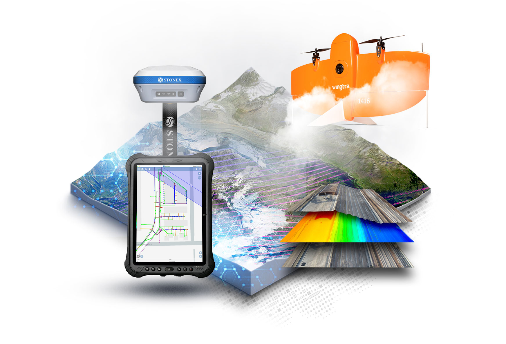
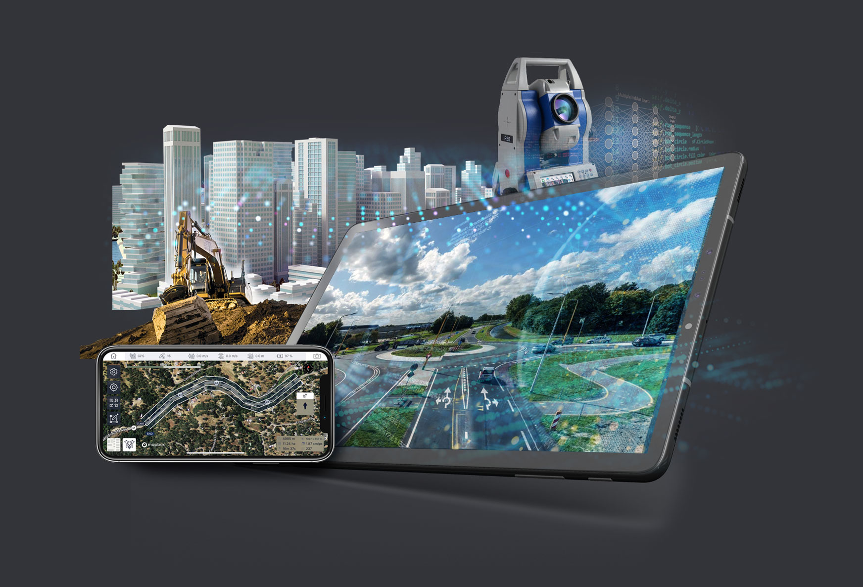
You map the world. From the air. From the ground. Underwater. Even in the underground. We provide the technology and guidance to help you do this faster, more accurately and more efficiently. With drones, 3D scanners, RTK GNSS, Total Stations and USVs, you can convert the physical world into digital models, maps and digital twins. Our detection systems trace cables and pipes and prevent excavation damage. Machine control systems make earthmoving faster and more precise. Precision technologies for agriculture maximise yield and minimise waste.
Technology is only powerful if you use it to its full potential. That is why we not only supply equipment and software, but also service, maintenance and expertise. We train, advise and support users, so they can work effortlessly and with maximum efficiency. Through intensive cooperation with customers, suppliers and sister companies within the Nexterdays Solutions group, we ensure that technology really works – in practice, for your projects.
Geodirect is active in the Netherlands, Belgium, Luxembourg, the Dutch Antilles and Surinam, with offices in Mijdrecht (the Netherlands) and Turnhout (Belgium).