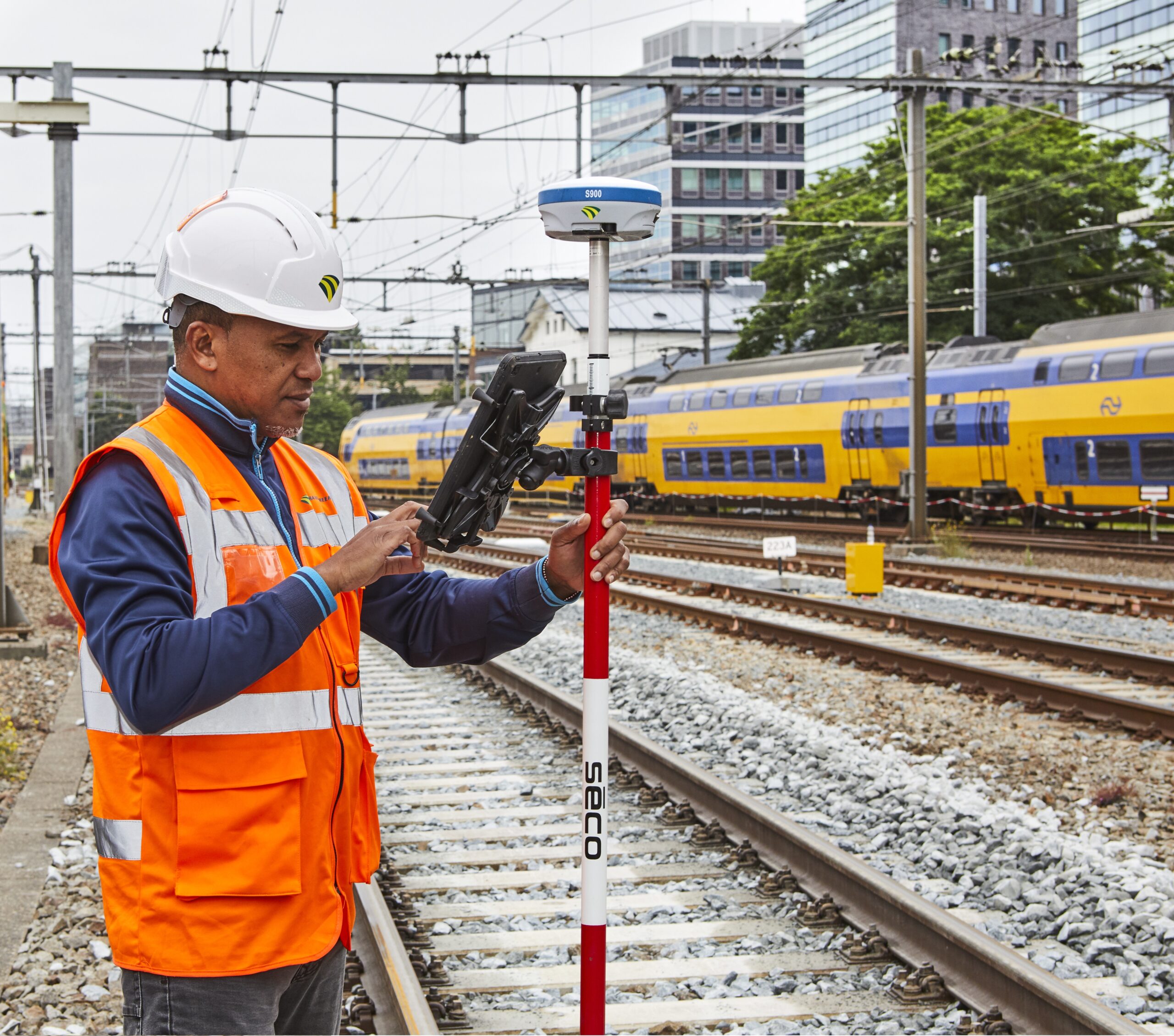
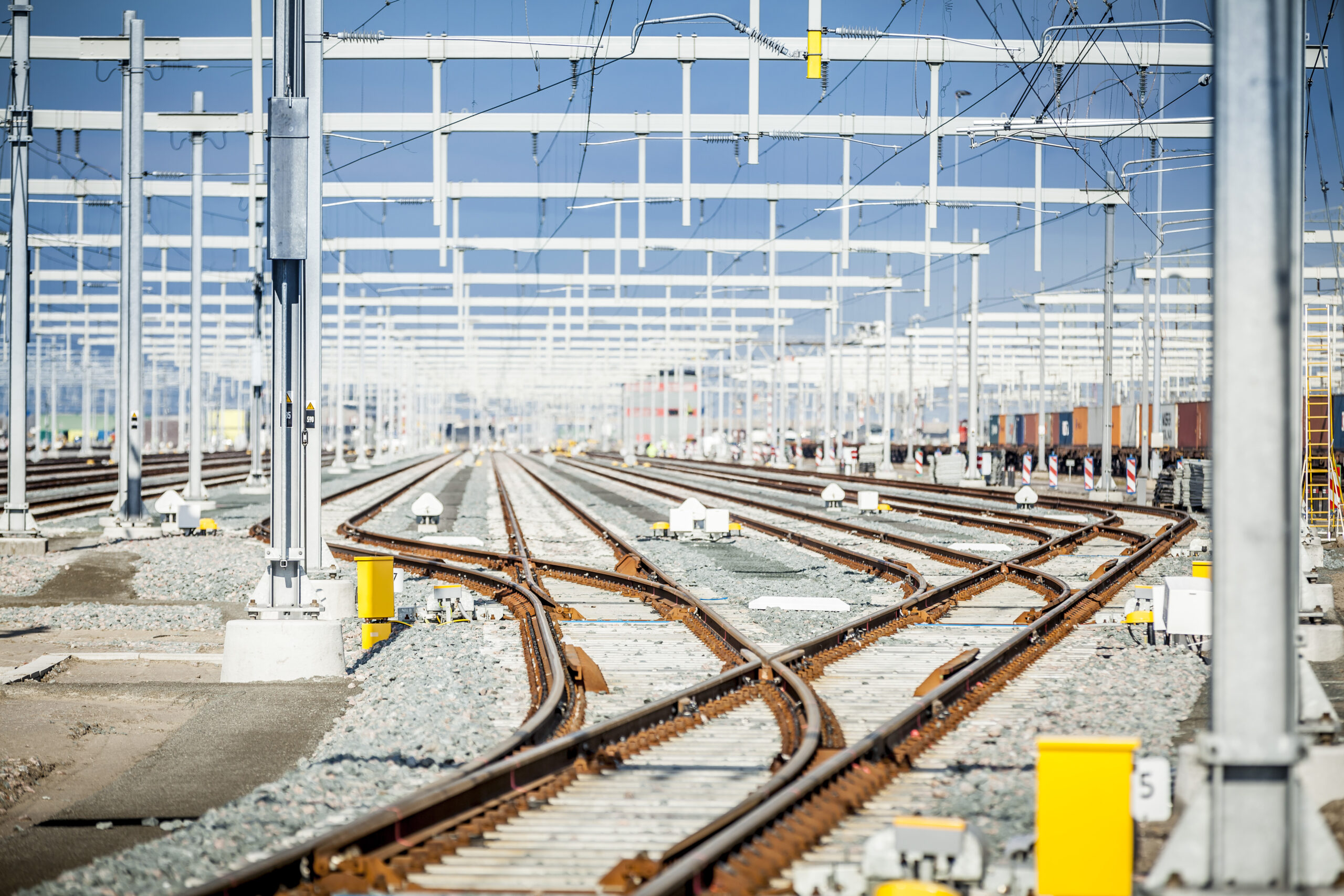
Dura Vermeer Railinfra is responsible for a wide range of work on and around the railways. Including the laying, relocation, maintenance and replacement of cables and pipes near tracks and platforms. A job that often has to be done in complex environments, within set timeframes and in cooperation with other parties. Deploying the right solutions that ensure fast and accurate measurements and processing of geographical data are of great importance in this respect.
Kelven Berendsen is a GIS Engineer at Dura Vermeer and a specialist in accessing, analysing and interpreting geographic data. He and his colleagues work on rail infrastructure projects with measuring equipment and software from Geodirect.

“Before joining Dura Vermeer Railinfra, I had over 12.5 years of experience in projects involving cables and pipelines. I gained experience with digital surveying, using Geodirect’s surveying equipment. I was enthusiastic about the equipment and the contact was always very good, so it was only logical for me to work with Geodirect again at Dura Vermeer. They know what they are talking about and think along with you. In the unlikely event of an issue with the measuring equipment during work, because you have adjusted a setting, for example, they will help you immediately by logging in remotely and observing the situation with you.”
Understandable and quickly deployable
“Geodirect is obviously not the only provider of digital surveying equipment, but the solutions they offer are clearly understandable and anyone can get started quickly. The biggest challenge we had was ensuring that our own people could carry out the measurements outside so that we no longer had to rely on external parties. Using external parties is costly and time-consuming. With Geodirect’s digital measuring equipment, we can simply do this work ourselves. For our projects, this is incredibly important. We have to do our work in certain time windows. If we can’t or if we have to go back, that’s quite an organisation. Another advantage is that we can directly check the data inside. If we see anything crazy or anomalous in it, we can check it immediately and don’t have to go back later.”
Data from outside directly to the drawing tables
Besides the physical measuring equipment, Dura Vermeer also works with the software solution Geolantis. “This software fits in perfectly with our programmes. The data we collect outside is now transferred to the drawing offices via the cloud. We are currently working on linking Geolantis with our own GIS systems so that we can process the data even faster and thus deliver even faster.”

Innovative solutions
The collaboration is going well. “Geodirect is a pleasant supplier. They seriously think along with innovations or more appropriate solutions. A small example is that they advised us to place sand feet on the measuring sticks so that we don’t damage the cables. Really a piece of thinking along in terms of safety.”
