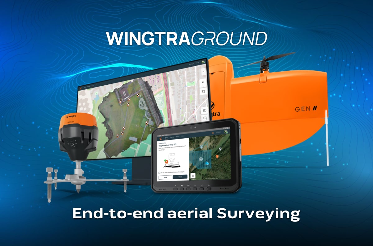
WingtraGROUND: The missing link for error-free drone mapping
Today is a historic day. Wingtra is once again setting
The world is changing. Construction, infrastructure and industry are facing major challenges. Working smarter, building more efficiently and capturing reality with unprecedented precision – that is the future. At Geodirect, we believe that technology is not just a tool, but a catalyst for progress. You map the world. From the air. From the ground. Underwater. Even in the underground. We provide the technology and expertise that allows you to do this faster, more accurately and more efficiently than ever before.
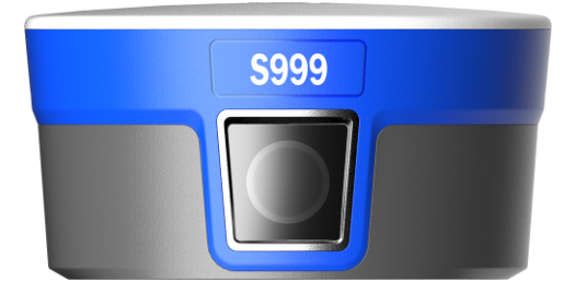
The Stonex S999 RTK GNSS receiver has an advanced 1408-channel GNSS board that can simultaneously receive all satellite constellations, including GPS, GLONASS, BEIDOU, GALILEO and QZSS.
The dual-camera system offers real-time visual support for fast and accurate stake-outs, while IMU tilt compensation allows for measurements up to 60°, making your surveying work more efficient and productive.
Work smarter. Build faster. Survey more accurately. Geodirect supports companies and organisations with innovative surveying solutions and advanced positioning technology. Mapping the world requires precision. Technology is only powerful if you use it to its full potential. That is why we offer not only equipment and software, but also expertise. Our team of specialists think along with you, advise and guide you. Together with customers, suppliers and sister companies within the Nexterdays Solutions group, we ensure that technology really works – in reality, for your projects.
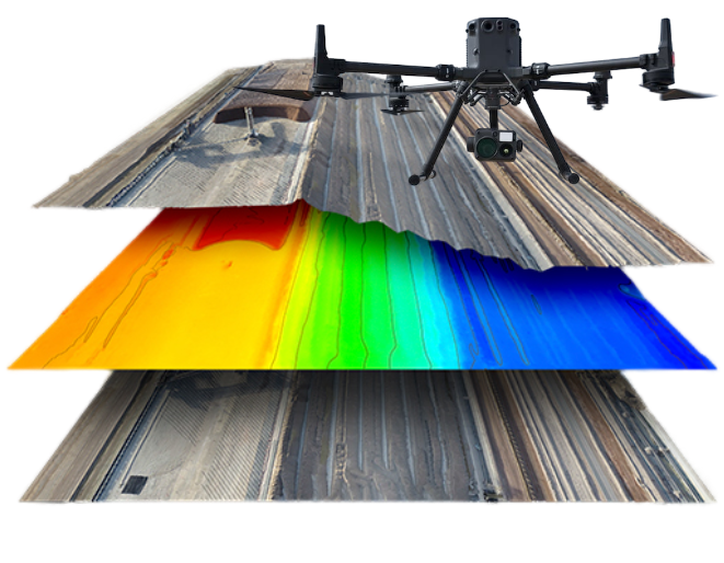
Drones have changed land surveying forever. No more time-consuming surveys, no more complex equipment. With Wingtra and DJI Enterprise drones, you can survey faster, more precisely and more efficiently. At least five times faster than traditional methods, with unprecedented accuracy. Less time, lower costs, more data—that is the power of drone mapping.
But a drone alone is not enough. That is why we not only supply the best drones, but also the smartest software, including: DJI Terra, FlightHub 2, WingtraPilot and Cube-3D. From flight planning to data processing—it just works. And we won’t leave you to your own devices. Practical training. In-house service. Free support. Everything you need to achieve immediate results.
Whether it’s photogrammetry or LiDAR, a construction site or an infrastructural project—we have the solution. WingtraOne GEN II, DJI Matrice 4 Series, Matrice 350 RTK, Stonex XFLY LiDAR. Absolute precision, ease of use and maximum efficiency. Ready to take your projects to the next level? Contact us and experience the difference for yourself.


Today is a historic day. Wingtra is once again setting

The civil engineering sector is on the eve of a
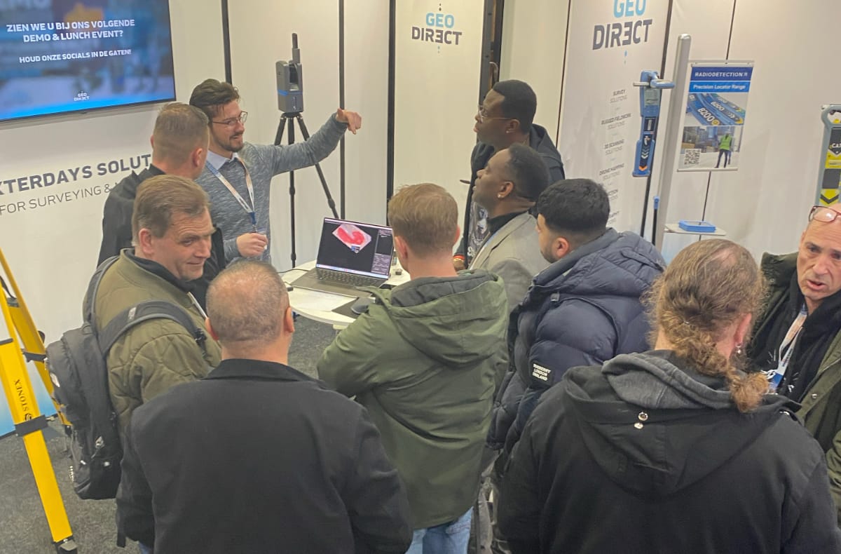
Last week, InfraTech 2025 was all about innovation and Geodirect
At Geodirect, your talent counts. Your ideas make the difference. You will work in a team of driven professionals who push boundaries, realize innovations and make an impact. Here you matter. Here you help build the future. Discover our vacancies and find the place where you can realize your full potential.
DEMO & LUNCH EVENT DRONE MAPPING
21 November 2024 | LOFT 27
Portengen 27, 3628 EB Kockengen
Always be the first to know about the latest news and our events? Sign up for our newsletter.